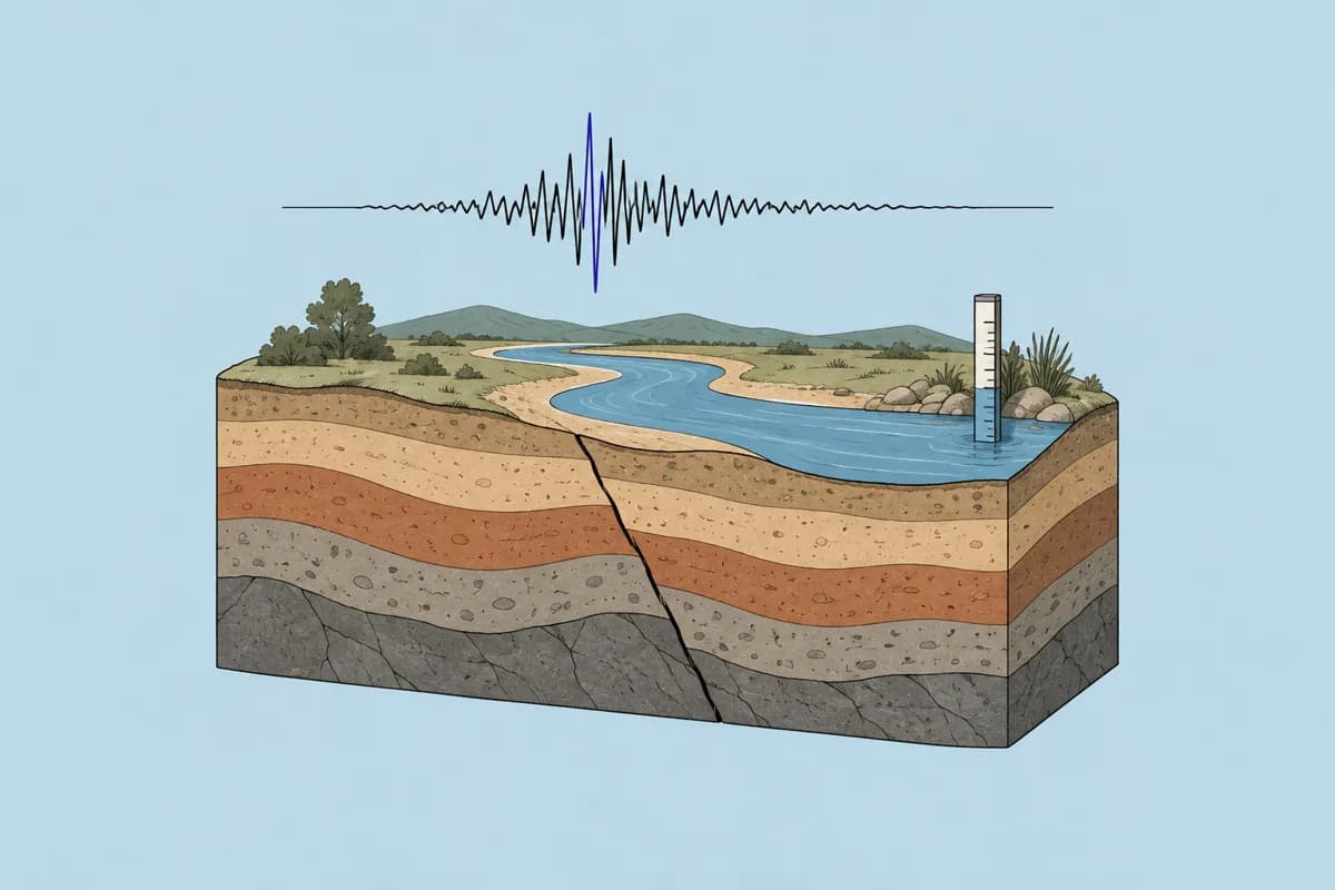
USGS earthquake & water data
The U.S. Geological Survey (USGS) publishes a global earthquake catalogue and water measurements from monitoring sites across the United States. Through ScholarMuse an agent can search earthquakes anywhere in the world by area, magnitude and date, and can list USGS water sites in a US state or bounding box and pull their daily mean values.
ScholarMuse tools: search_earthquakes, get_water_data. Each successful call uses credits.
Ask your agent
What your agent gets back
Every record carries id, source, title, url, license, attribution and retrievedAt. The fields below are the data that comes from USGS.
search_earthquakes
One record per earthquake, each linking to its USGS event page.
- magnitude
- Magnitude of the event
- magnitudeType
- Magnitude scale used, as given by USGS
- place
- Text description of the location
- time
- Origin time in UTC (ISO 8601)
- latitude
- Epicentre latitude
- longitude
- Epicentre longitude
- depthKm
- Depth in kilometres
- feltReports
- Number of felt reports submitted
- maxIntensityMmi
- Maximum estimated intensity (MMI)
- pagerAlert
- PAGER alert level, when set
- tsunamiFlag
- True when USGS flags the event for tsunami
- reviewStatus
- Whether the event is automatic or reviewed
get_water_data
With a site number the tool returns one series record (the fields from parameter to observations below). Without one it returns a list of sites, each with siteNumber, name, state, county, latitude, longitude, recordStart and recordEnd.
- site
- Site number, name, state, county, coordinates and drainage area
- parameter
- streamflow, gage_height or water_temperature
- parameterCode
- USGS parameter code, e.g. 00060
- statistic
- Always daily mean
- unit
- Unit of measure reported by USGS
- count
- Number of daily values returned
- min
- Lowest value in the period
- max
- Highest value in the period
- mean
- Mean of the values in the period
- provisionalDays
- Days whose value is not yet approved
- observations
- Rows of date, value and approval status
What it covers
- Earthquakes worldwide, searched around a point with a radius or with no location for a global search.
- Water data from USGS monitoring sites only. The state filter accepts the 50 US states, the District of Columbia and Puerto Rico.
- Three water measures as daily means: streamflow, gage height and water temperature.
Limits
- Water data covers the United States only; there are no river or groundwater readings for other countries.
- Earthquake searches return at most 200 events per call (20 by default) and default to the last 30 days when no dates are given.
- Water series are limited to 2,000 days per call and site lists to 50 sites; only daily means are returned, not the 15-minute readings.
- Recent water values may be provisional, and requests can take 30 to 40 seconds before timing out.
How ScholarMuse reaches USGS
Earthquake searches call the USGS FDSN event service at earthquake.usgs.gov with no key. Water requests call the USGS Water Data OGC API at api.waterdata.usgs.gov; an api.data.gov key is sent when one is configured and the API also answers without it.
Earthquake searches are cached for 10 minutes (1 day when the end date is more than 30 days ago); daily water values for 1 hour (7 days for periods ending more than 400 days ago) and site lists for 1 day.
API key: the upstream API can be called without one, so you do not add one.
Licence and attribution
Licence: Public domain (US Government work)
Data from the U.S. Geological Survey (earthquake.usgs.gov, waterdata.usgs.gov). Recent water data may be provisional.
Records that come from USGS carry this licence and attribution. When you cite the data in a paper, follow USGS's own citation guidance.